TECTONIC
![]()
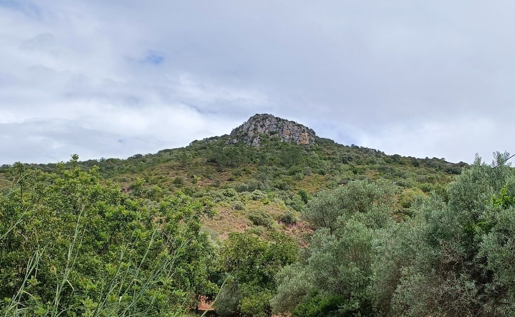
This geosite located in the village of Pirinéu allows us to observe the well marked lithological contact between luscious schists and reddish sandstones. This contact represents an erosive surface that separates two rock types, with the layers of more recent rocks deposited parallel to the contact surface, on the inclined layers of older rocks. Despite representing a time period of about 80 million years, during which part of the geological record was destroyed, this type of contact, which is named "Angular unconformity", allows us to tell one of the chapters of the geological history of the aspiring Geopark Algarvensis.
In fact, the oldest schists correspond to marine sediments of the Carboniferous period (360-300 Ma), which were folded and metamorphosed due to the compressive tectonic forces that closed the Rheic Ocean and gave rise to the Varisca mountain chain. Subsequently, during the Permian (300-252 Ma) and Lower Triassic periods, this chain was eroded, flattening the continental surface. Over this flattened surface, during the Upper Triassic (237-201 Ma), the reddish sands in fluvial and lacustrine environments of supercontinent Pangeia were deposited.
Location: Pirinéu, Querença - Loulé
Coordinates: 37° 12' 36,905" N | 7° 59' 28,587" W


