
Geological History
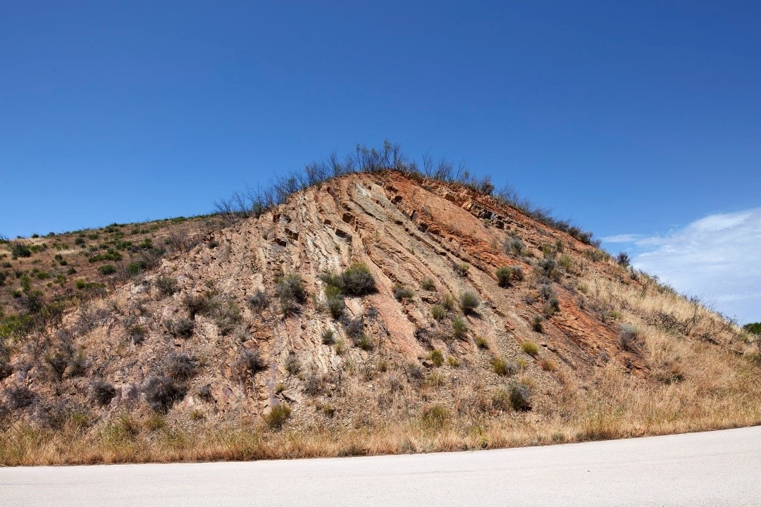
In the Northern Algarve Mountains (Serra Algarvia), the oldest rocks in the Algarve are located, dating back approximately 345 million years to the Carboniferous period. The layers of shale and greywacke, characteristic of the mountain range, accumulated at the bottom of an ancient ocean known as the Rheic. These layers formed from the deposition of sediments (sand and mud) carried by turbidity currents, which are dense underwater flows of water-saturated sediments that usually move rapidly due to gravity, descending along underwater slopes, such as continental slopes.
When turbidity currents reach the base of the continental slopes, where the gradient decreases to horizontal, they lose speed and the ability to carry sediments, depositing them in a sequence: first the larger particles, and lastly the finer sediments that remain suspended in the water. Each turbidity current generates a layer of greywacke that generally exhibits a sequential order of sedimentary structures resulting from the decrease in current velocity. Subsequently, the finer sediments (silts and clays) are deposited. The sequences of layers of greywackes and shales are referred to as turbidites, indicating that they were deposited by turbidity currents. The continuous deposition of layers of greywackes and clays, following this sequence, leads to the compaction of the sediments, particularly the clays, which, through compaction, form laminated mudstones with planes that can easily split along surfaces parallel to the stratification.
The provenance of the clastic sediments in the layers of greywackes and laminated mudstones originated from the ancient continents situated along the margins of the Rheic Ocean, specifically the continents of Euramerica and Gondwana. The collision of these continents resulted in the closure of the Rheic Ocean and the formation of the supercontinent Pangaea; the turbidites that had accumulated in this ocean were deformed by the tectonic forces arising from this continental collision and were progressively incorporated into the structures of the Variscan Mountain Range. The latter is characterised by folds and faults observable at different scales.
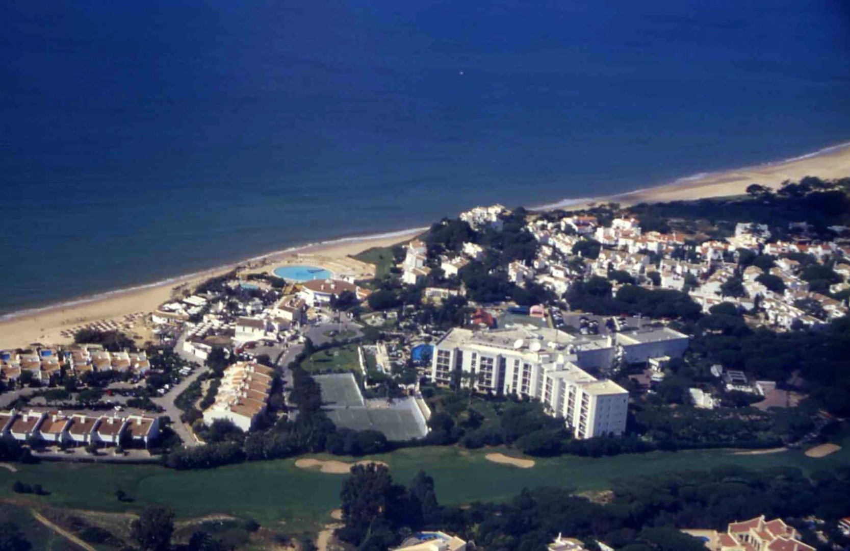
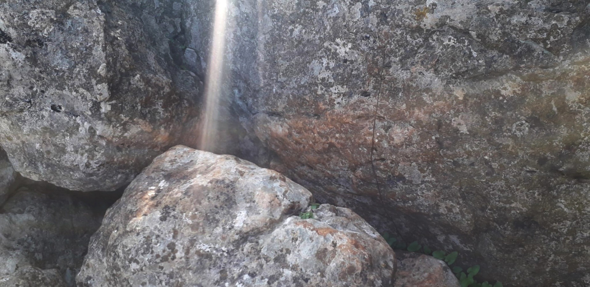
At the summit of this hill near Revezes, one can observe the boundary between two stratigraphic units of turbidites in the Algarve region: the Mértola Formation (older) and the Mira Formation (younger). This boundary crosses the meanders of the Vascão stream, which formed prior to the uplift of the Serra do Caldeirão during the Miocene epoch (23 to 5 million years ago).
Locality: Revezes, Ameixial